Testbed, Partners
TB-5 – Maritime ports in Gioia Tauro, Italy – EUC (YET, GMP, NOR)
Area:
4.4 km2, plus 1.8 km2 of water
Affected population:
Gioia Tauro 20,000
San Fernandino 5,000
General building stock inventory:
Available
Existing infrastructure:
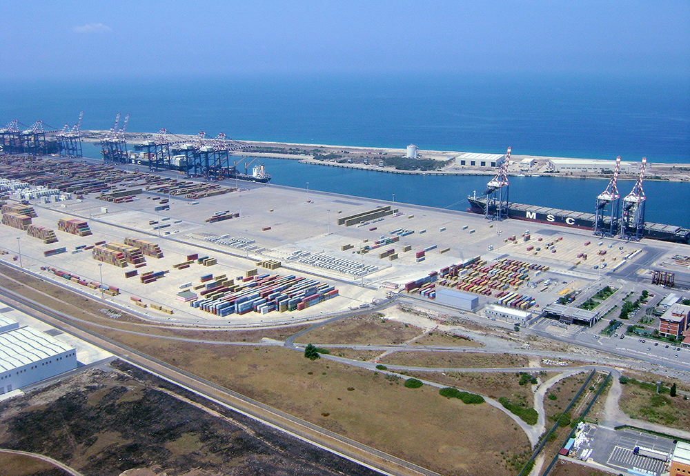
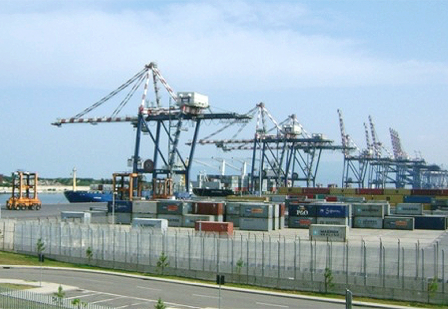
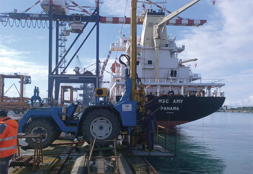
Port facilities (wharves, cranes, storage facilities, utility systems, railways, etc.).
Key stakeholders:
Port Authority of Gioia Tauro; Calabria Region in Southern Italy.
Existing Sensor networks:
Italian Strong Motion Network (RAN) operated by the Italian Civil Protection Department, Italian National Seismic Network (IV) and Mediterranean Very Broadband Seismographic Network (MN), operated by Istituto Nazionale di Geofisica e Vulcanologia (INGV) in Italy.
TB-setting and seismic hazard:
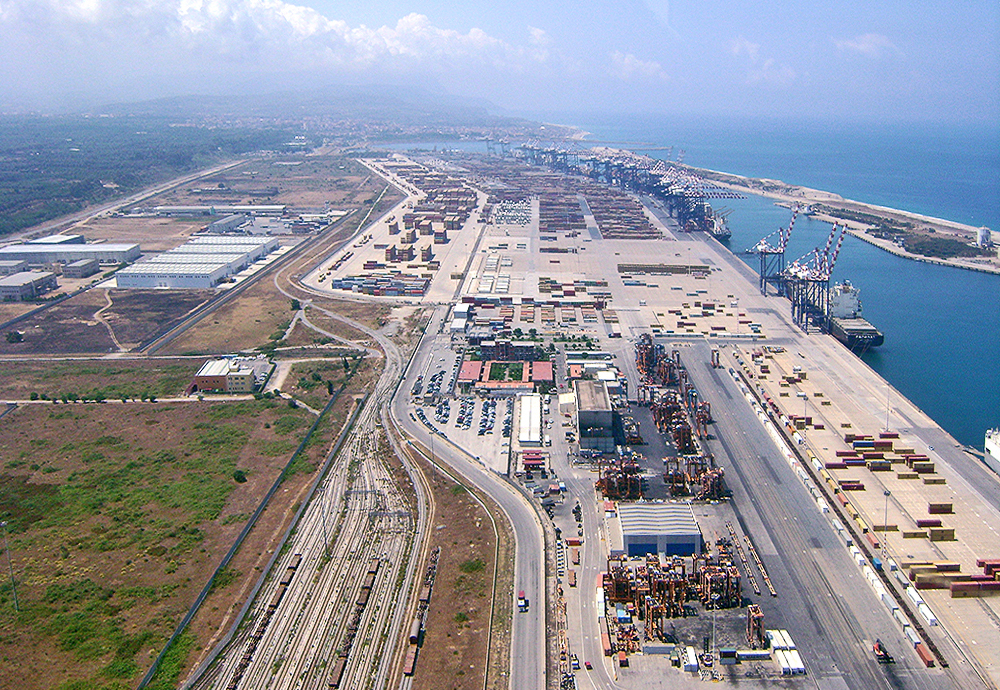
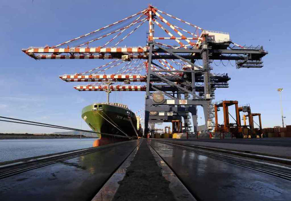
The port of Gioia Tauro is located in the Calabria region of Southern Italy, which is the Italian region characterized by the highest seismic hazard. It is the largest terminal for transhipment in Italy and one of the most important hubs for container traffic in the Mediterranean Sea. Its main infrastructure is an artificial channel, 200m-250m wide and 3km long, running parallel to the coastline with an entrance 300m wide and an evolution basin 750m in diameter. No GNSS stations are located in the proximity of the port. The closest seismic station (GTR, equipped with Lennartz LE-3D/5s) is located at a distance of about 0.5 km from the port; another two seismic stations are located along the coast to the north and to the south of the port, respectively (distance ∼ 9 km).
During TURNkey:
10 TURNkey multisensor units (6 accelerometric and 4 GNSS) will be installed in the port to monitor key structures, and seismic movements of the channel.
Instrumentation

TB-5 – Port of Gioia Tauro, Italy: Existing stations and planned instrumentation to improve monitoring.