The Turkey-Syria earthquake and how to protect rescuers in case of aftershocks

Following the catastrophic Mw7.9 earthquake that recently struck Turkey and Syria (February 6, 2023), an article was published online on how to protect rescuers in case of aftershocks. To this end, the author of the article, Femke Mulder (postdoctoral research fellow at Anglia Ruskin University, one of the TURNkey partners), highlights the importance of the Rapid Response to Earthquake systems, also citing the one developed within the TURNkey project as an example.

To read the article, click here.

Logo TURNkey shape

CORDIS: TURNkey results in brief

In October 2022, the Community Research and Development Information Service (CORDIS) published a short article on its website summarising the results of the TURNkey project. CORDIS wrote the article in collaboration with NORSAR, the coordinator of the TURNkey project.
To read the article, please click here.

Logo TURNkey shape

A communication guide to fight earthquake misinformation

COVID-19 pandemic has demonstrated how fast misinformation can spread worldwide, leading to societal behaviours that negatively impact risk mitigation. Yet, health crises are not the only contexts where misinformation proliferates. Recent earthquakes in, e.g., Haiti (2010), Palu (2018), and Albania (2019) have been scenario of a hampered response of the public to the earthquake crises because of the spread of misinformation.

Can dangerous or hurtful public responses be avoided by fighting the spread of misinformation? If yes, how? To tackle this issue with a particular focus on earthquakes, an international group of social scientists, seismologists, and statisticians banded together. They identified the most common myths related to earthquakes, assessed their degree of truthfulness, and composed a communication guide. The communication guide aims at supporting institutions, scientists and practitioners communicating earthquake information to the public. Besides general recommendations on how to best mitigate and fight the spread of misinformation, the guide provides a timeline to facilitate the strategic planning of one’s communication efforts. It also contains specific advice on how to deal with the most common earthquake myths including predicting earthquakes, creating earthquakes, and climate related earthquakes. The guide is another great result of the great synergy repeatedly demonstrated between TURNkey and the European project RISE.

The guide can be downloaded from the ETH (RISE Project Coordinator) online repository at this link.

Logo TURNkey shape

The GeoSense Project Group

In 2021 we applied to the Horizon Results Booster, a package of EU-funded services through which we had an expert support to disseminate more effectively our research results. Participating in this service brought us into contact with a number of EU- funded projects with which we share the main objective to make Europe more seismically resilient.
Among these projects there are CRISIS, REDACt, and METIS: with them we partnered up as GeoSense – Earthquake Risk Mitigation Cluster.
CRISIS is a two-years project (2021-2022), whose main objective is to improve the disaster and emergency management in case of earthquake and/or landslides in the cross-border region of North Macedonia, Albania, and Greece.
REDACt is a three-year project (2020-2023) that aims to improve the cross-border joint environmental data and information monitoring as well as availability and cooperation in seismic disaster prevention, management, and risk mitigation. The countries involved in the project are located in the area around the Black Sea.
METIS is a four-years project (2020 -2024) whose overall objective is to propose innovations in tools and methodologies for seismic safety assessment of reactors and to develop a new state of the art, in particular by supporting technology transfer from the research community to the industry.
We decided to join our forces as, although we work towards the same ultimate goal, each of us pursues it through research activities on different topics, leading to the development of different procedures and tools.
The GeoSense cluster mainly addresses policy makers and state, regional, and local authorities (e.g., Civil Protection) and provides them with tangible solutions to mitigate seismic risk in Europe. These solutions are also intended to support them in dealing with an emergency after an earthquake.

Read our policy brief to learn more about the GeoSense Cluster and its tools.

Logo TURNkey shape

Mitigating seismic risk in Bucharest: TURNkey contribution

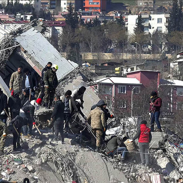
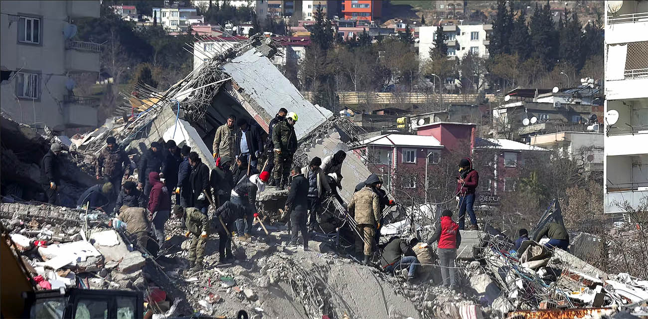
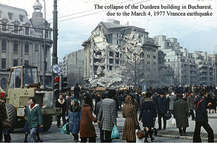
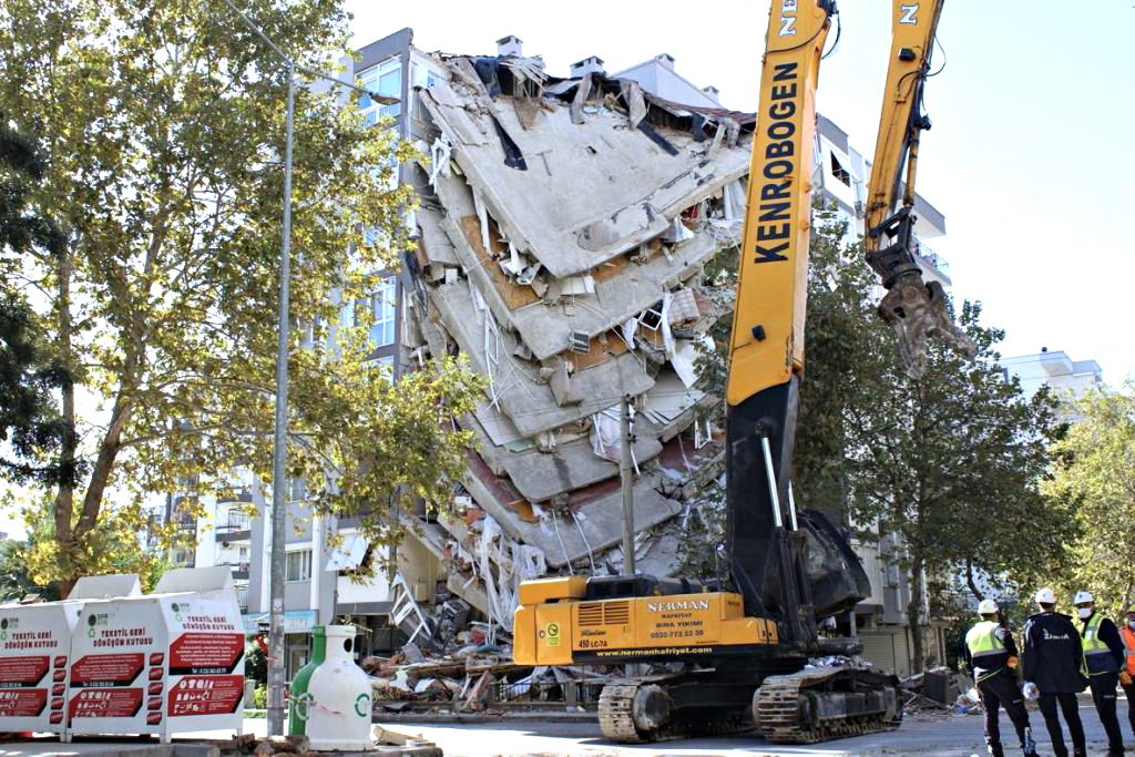
Forty-five years ago, on March 4th at 21:21 local time (LT), Romania was severely shaken by the Vrancea earthquake with a moment-magnitude of 7,4, at 94 km depth. Out of 1578 casualties, 90% were in Bucharest, mainly due to the collapse of 32 medium or high-rise buildings. Nowadays, Bucharest is still under high seismic risk, as official data and recent articles show.

However, through TURNkey, Bucharest (Test Bed 1) becomes more resilient. The recently published article of Toma-Danila et al. (2022) reveals the implication of earthquakes on emergency intervention travel times, showing:


  • which areas could become inaccessible due to building collapse;
  • which are the implications of typical and post-earthquake traffic on travel times;
  • which are the safe access routes and important hospitals in case of an earthquake.


As expected, the city center might become severely hard to reach in case of earthquake. The use of delimited tramway lines for ambulances has an important impact in reducing travel times, but not all areas benefit from these. Furthermore, an emergency hospital located in south-western Bucharest might be highly important in reducing travel times for the area. The articles provide enough solutions for better emergency reduction planning.


Under TURNkey, the seismic instrumentation of buildings in Bucharest was also boosted, five more representative buildings being instrumented. No major earthquakes occurred yet, but new articles regarding improved methodological approaches for structural health monitoring will soon be published. Also, the TURNkey platform will provide stakeholders in Bucharest an important tool for seismic risk mitigation.

Also, don’t forget that you can see Bucharest yourself, with the occasion of the 3rd European Conference on Earthquake Engineering and Seismology (3ECEES), on September 4-9, 2022. The call for contributions is still open: https://3ecees.ro/calls/


Read the new article and its data at: https://www.frontiersin.org/articles/10.3389/feart.2022.834052/full – Toma-Danila D, Tiganescu A, D’Ayala D, Armas I and Sun L (2022) Time-Dependent Framework for Analyzing Emergency Intervention Travel Times and Risk Implications due to Earthquakes. Bucharest Case Study. Front. Earth Sci. 10:834052).

1 Turnkey 4.3.2022
  • An example of a building collapse in Bucharest due to the Vrancea earthquake.
2 Turnkey 4.3.2022
  • Map showing Service Area times for hospitals with very high and high importance in case of earthquakes post-earthquake conditions, for an earthquake occurring at 8 LT on a typical weekday (left) and map showing safest and fastest routes toward hospitals for the area around Calea Victoriei 95-101, in the case of an earthquake occurring at 18 LT on a typical weekday. This map also shows the number of roads overlapping per road segment (right).
3 Turnkey 4.3.2022
  • Map showing potentially inaccessible areas in Bucharest, in case of the collapse of all vulnerable buildings in seismic risk class 1 and 2 or urgency categories, obtained with the Network-risk methodology.
Logo TURNkey shape

Earthquake event recorded by the RapsberryShake-4D network in the Pyrenees

On February 1st 2022, a M 4.1 earthquake near Andorra was recorded by the recently deployed RaspberryShake-4D sensors in the Pyrenees (Test-Bed 2). The epicentre was located at around 75 km from the 5 stations deployed in Bagnères-de-Luchon, and at around 120 km from the 6 stations along the high-speed train line between Perpignan and Figueras.

Integrated with the permanent accelerometric network in the area, the RaspberryShake-4D stations were useful to detect and locate the event. While acceleration levels were very weak in Bagnères-de-Luchon (less than 1mg), the accelerometers of the station RE153, located on the floor R+2 of a high-school building, were able to pick up the S waves.

This small earthquake has demonstrated the ability of the deployed stations to detect events in the area. In complement of the other permanent accelerometric stations, the RaspberryShake-4D sensors could then be used to generate more accurate shake-maps in the case of larger seismic events.

1 News Febbraio turnkey
  • Map of the RaspberryShake-4D network in Test-Bed 2 and epicentre location of the earthquake.
2 News Febbraio turnkey
  • Velocimetric recording of the event (EHZ component) by the 5 RaspberryShake-4D stations located in Bagnères-de-Luchon.
3 News Febbraio turnkey
  • Accelerometric recording of the event (ENZ, ENN and ENE components) by the station RE153, filtered in the frequency range 0.05-5 Hz.
Logo TURNkey shape

Article featuring TURNkey on Temblor

In June 2021, Temblor published a great article about earthquake risk reduction activities in Europe featuring TURNkey and our researcher Femke Mulder from Anglia Ruskin University. The article was written by Pablo Salucci, professor and consultant in socio-environmental disasters in Chile.

To read the article, please click here.

News_28.7.2021
  • Building damage caused by the Aegean Sea Earthquake that struck Turkey on Oct. 30, 2020. Credit: Voice of America, Public domain, via Wikimedia Commons.

    .

Logo TURNkey shape

Gathering feedback about easy-to-understand estimates of ground shaking during interactive online poll session on 6 May 2021

Part of the information to be presented on the TURNkey platform will be earthquake hazard maps and maps of shaking from actual earthquakes. The information should be easy to understand for end users and include uncertainty. End users are for example businesses, emergency responders and civil protection. “Easy-to-understand” generally means that the information is presented in a non-technical way.
The easy-to-understand estimates of ground shaking are being developed in Work Package 3. First ideas were presented to the work package participants in March 2021 during an online meeting. This resulted in the first draft of maps for the earthquake warning phases of Operational Earthquake Forecasting (OEF), Earthquake Early Warning (EEW), and Rapid Response to Earthquakes (RRE). In addition, graphs were made of estimates at points of interest, such as historical buildings, bridges, and hospitals.

  • Example of an RRE shakemap showing the best (left) and high (right) estimate of shaking using the macrointensity scale (source: BRGM).

    .

Feedback on the drafts was gathered among the work package participants during an online interactive session on 6 May 2021. The application used for the online poll was Mentimeter. The visualisations were presented to the participants. Questions were asked about different aspects, such as the understandibility of titles, different options for colour scales, linear or logarithmic representation of the data, and the slider for low, best, or high estimates of shaking. The first question was in the form of a vote for a certain option. This voting question was always followed by a free-field question where participants could type any comments they wanted. Especially this second feature allowed people who would normally not speak up in a large group to give their feedback. Using the open questions also ensured that all comments were saved for later analysis. By way of example, below is a few feedback from participants and an open question from the survey.

“Thanks for this meeting, that was really a fantastic way to conduct it –
giving everybody the opportunity to express their opinion without
lengthy discussions. This was the most fun meeting I had in a long time!”

  • Quote from one of the participants.
  • Example of a voting question.
  • Example of open question with suggestions for improvement.

The results of the poll will be used to make the final design of the visualisations, to be delivered to the platform. The final end user consultation will be done using the mock-up of the platform which will include the easy-to-understand visualisations of ground shaking. The improvements suggested by the end users can be incorporated in the final version of the platform.
For more details about the easy-to-understand estimates of shaking or how we conducted the online poll, please contact Pauline Kruiver (pauline.kruiver@knmi.nl).

Logo TURNkey shape